Visual infrastructure inspection
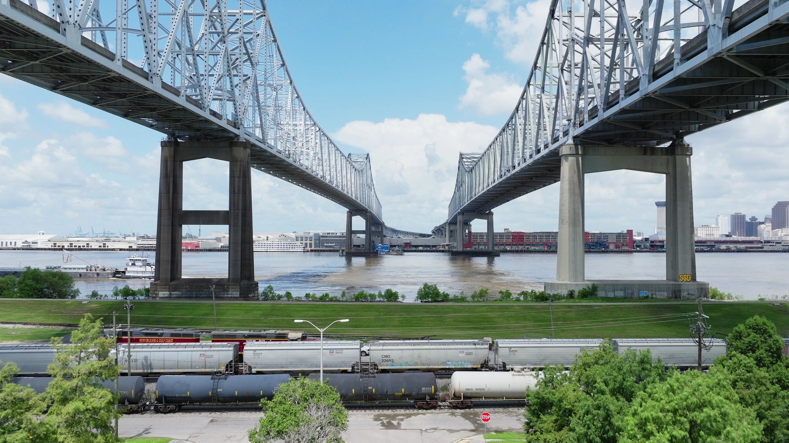
High-resolution imagery documents structural members, surfaces, connections and access-limited areas for engineering review.
Aerial inspection partner
Field experience. An aerial perspective.
Advanced Drone Services Inc. brings heavy-highway and building-trades experience to aerial inspection. Visual records, thermal surveys and reality models help engineers and asset owners examine conditions that are difficult to see from the ground.
The expertise behind the capability
Aerial data and structured documentation add a visual record to the questions your project needs to answer.

High-resolution imagery documents structural members, surfaces, connections and access-limited areas for engineering review.
Radiometric thermal imagery helps investigate temperature patterns and potential anomalies in solar, electrical and industrial applications.
Photogrammetry, orthomosaics and point clouds support as-built documentation, digital twins and comparison over time.
Georeferenced observations and AI-assisted tools support defect review and asset-management workflows. Findings remain connected to qualified professional interpretation.
Where the expertise applies
Member documentation, condition imagery and post-event records.
Pavement, drainage, culvert and right-of-way documentation.
Visual and thermal records for condition and maintenance review.
Antennas, structural members and mounting hardware.
Tanks, stacks, cooling towers and elevated structures.
Drone-assisted internal inspection by special request and site review.
The value for your project
Kinetic measurement and partner inspection can address complementary parts of the same asset question.
Explore Kinetic structural studiesAdvanced Drone Services provides the agreed visual, thermal or spatial record.
Kinetic records vibration at defined locations, with operating conditions and measurement context.
The project team can review inspection observations alongside measured response to guide investigation, maintenance or further study.
Preparation, training & site coordination
Advanced Drone Services describes a safety program built around pre-flight assessment, site coordination, equipment checks and mission documentation. Its team reports the following credentials and training.
Partner safety & training informationCommercial remote-pilot certification for drone operations.
OSHA 30-hour training, plus CPR/AED and RF safety credentials.
A signatory contractor with roots in the heavy-highway and building trades.
Explore the partner’s own resources
Capabilities summarized from Advanced Drone Services’ official information. Inspection coverage, deliverables, flight permissions and site access are defined for each project. Imagery and measurements support engineering review of the asset.
Start with the question you need to answer